
American Canyon Street Walkthrough
The strongest street directory workflow moves from a location to an identifier, then from an identifier to a custodian record. Start with the exact address and preserve unit details. The public map can show a parcel, but the assessor portal supplies the search handoff. The recorder's index is party based, and the voter file is purpose restricted. Each step answers a different question about an address.
- Enter the address in the American Canyon public web map. Select the parcel and note the APN, city-limit layer, and nearby parcel shapes.
- Open the Napa County Megabyte assessor search. Use STREET ADDRESS or the APN, and keep the returned parcel reference.
- Compare situs and mailing clues. The situs is the physical parcel; the mailing address is where tax notices go. They may not identify the same person.
- Use the APN, legal description, or a known party in the Napa Official Records index. Track grantor, grantee, recording date, and document reference.
- For a block, click adjacent parcels or request the county's 500-foot spreadsheet. For historical occupants, ask a library or genealogy collection for verified directory and census leads.
That sequence makes the American Canyon street directory a reproducible research path. It also keeps ownership evidence separate from proof of occupancy and avoids turning a map click into a claim about a household.
American Canyon Street Search Fields
The Napa Assessor's public web form is unusually clear about what it does and does not search. Its Quick Search control offers FEE PARCEL, ASSESSMENT, STREET ADDRESS, and AIRCRAFT TAIL#. A single Search Term field sits beside the Search button. Fee parcel accepts a dashed or 12-digit undashed format. Street search uses a number and street text, permits a partial street, and asks the user to omit the street type.
| Quick Search | FEE PARCEL, ASSESSMENT, STREET ADDRESS, or AIRCRAFT TAIL# |
|---|---|
| Search Term | One text field; street number plus street text or an APN format |
| Address tip | Begin with the number, use a partial street if needed, and omit street type |
| Owner-name mode | Not offered on the public web search |
The Napa real-property gateway explains parcel-data and map access, while the public parcel-report instructions describe APN and address selection. The assessor counter can supply owner or mailing evidence that is suppressed online. The 2025 schedule lists assessment data at $18, but current products and fees should be confirmed with 707-253-4467.
The assessor parcel-report instructions are the source for the map handoff shown in this street directory trail.
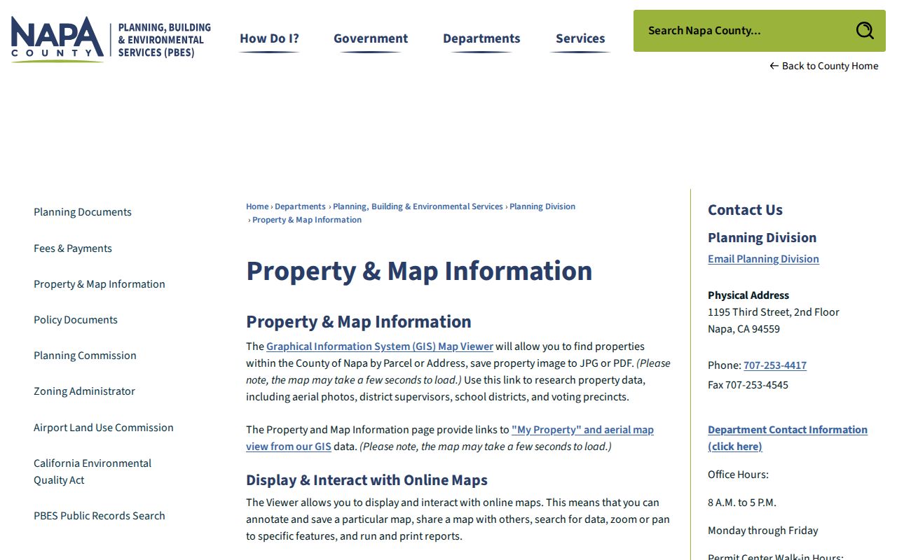
Keep the original address string beside the APN because a later map or deed may use a legal description instead of the mailing label.
The Napa real-property page also shows the county's broader parcel-data route.
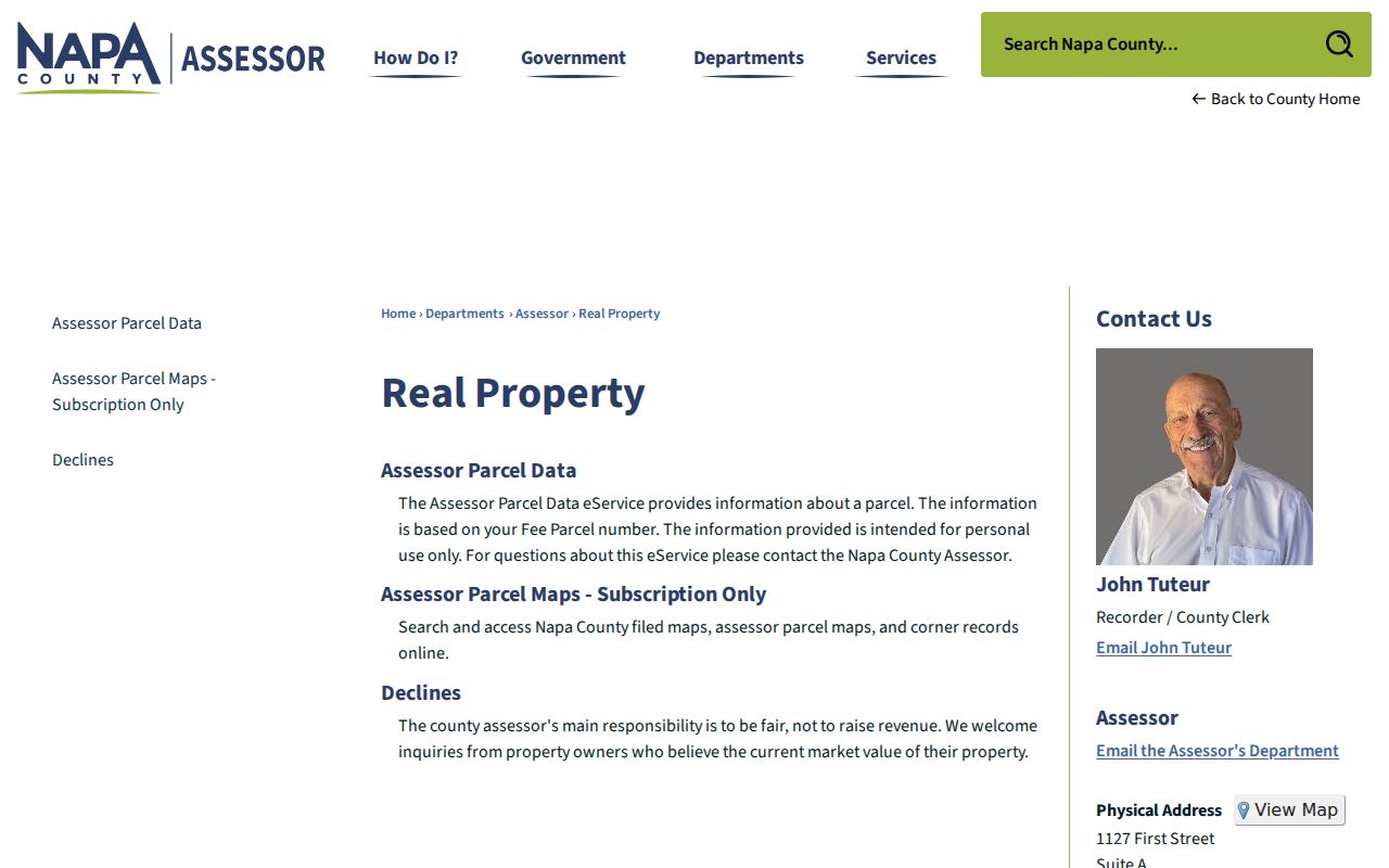
That gateway is useful when the address search needs a county-level property explanation.
American Canyon Street Parcel Layers
The American Canyon GIS viewer is a map and report tool, not a household directory. Property Search accepts a full address, an ASMT, or a dashed ASMT. After a parcel is selected, the viewer offers NearMe, Select, Parcel Report, an attribute table, print and share controls, export to Excel, and layer toggles. NearMe can use feet or miles.
Published layers include parcels, addresses, zoning and general-plan land use, city limits, sphere of influence, urban limit, sewer and water service areas, school districts, parks, roads, transportation zones, airport compatibility, fire hazard, wetlands and other environmental data. No owner-name or mailing-address field was observed in the public map. The useful street directory result is therefore a parcel sequence, jurisdiction clue, and map reference.
Click each adjacent polygon one at a time when the question is a block. Keep both sides of the street in view, switch layers only when they answer a defined question, and save the report date. If a complete radius list is needed, use the county form rather than inferring a neighborhood from visible shapes.
The county locating and mapping guidance explains why APN, situs, mailing address, and map history must be read together.
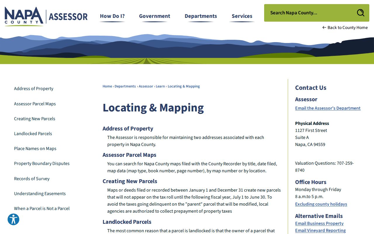
A parcel report can add school, precinct, permit, environmental, or jurisdiction clues without claiming that a person occupies the land.
American Canyon Address Clues
Napa County keeps two address concepts in its property records. The situs address describes the physical land. The mailing address receives tax communication. They can match for an owner who receives notices at the parcel, but a different mailing address can reflect a trust, business, manager, absentee owner, or a simple preference. A street directory should report the distinction rather than label either address as proof of a resident.
The county tax-payment portal allows searches by property key and displays bill evidence such as assessment number, fee parcel, physical location, lien-date owner, tax-rate area, mailing address, messages, and paid or delinquent amounts. Its public search page deliberately suppresses names and addresses in online results. A property key or parcel map is the better bridge into the assessor and recorder.
When a street label and parcel map disagree, compare APN, legal description, filed subdivision map, intersecting streets, and jurisdiction layers. A ZIP is postal geography. It does not establish that a parcel lies inside American Canyon. Use the city's records for city parcels and repeat a permit or code search with Napa County for fringe or older files.
Address check. Record the USPS format, situs address, mailing address, APN, and jurisdiction as separate fields. One label should not silently replace another.
American Canyon Deed Records by Address
The recorder does not provide a direct street browse. Its free index searches a full name with optional from and to dates. Once the assessor or GIS supplies a parcel and a current owner clue, search the party and inspect the returned document reference. A grantor transfers an interest; a grantee receives it. A recorded deed may include vesting names, a legal description, consideration or tax statements, notarization, and a return address. It still does not certify who occupies the premises.
Search the current grantee, record the acquisition deed, then search the earlier grantor as a prior grantee. Repeat while checking document numbers, recording dates, book and page references, legal descriptions, and APN continuity. Track liens and releases separately. They are valuable record events but not transfers in the chain of title.
For intensive access, Napa lists a $4,316 annual prepaid subscription for the full index and images. Most researchers can combine the free limited index with the recorder counter, copy order, and filed-map search. Recorder-Clerk research is at 1127 First Street, Suite A, Napa, and the general telephone is 707-253-4247. The index is stated to begin in 1848, but image completeness and indexing depth should be checked per result.
American Canyon 500-Foot Records
For a block-sized American Canyon street directory question, the assessor's radius or buffer request is more reproducible than scattered map clicks. The linked form asks for a target APN or situs address, requester contact details, and delivery information. The stated product returns an Excel spreadsheet listing properties within 500 feet, with owners' names and mailing addresses.
The form states $16 per subject property plus a $7 card vendor fee. A later assessor schedule lists a $29 buffer-zone product. That is a sourced fee conflict, not a reason to guess. Call the assessor at 707-253-4467, quote the exact form or product, and verify the current amount before paying. Nonprofits may request a waiver under the form's terms.
American Canyon Municipal Code section 19.40.050 shows how a public radius notice is assembled: an applicant, property owners within 500 feet, and physical addresses within 500 feet can receive land-use notice. If the owner count exceeds 1,000, a newspaper notice may substitute. This describes an official notice process. It does not open a private household roster.
The Napa radius request form is the documented route for a standardized owner-and-mailing spreadsheet.
American Canyon Street Map Continuity
Subdivision and assessor maps help keep a street directory stable when an address label changes or parcels split and merge. Napa's Filed Map Search offers location, title, and book-page search modes for filed maps, assessor maps, and corner records. A search is free. A map page is listed at $4, while a subscription requires an account and a $50 initial charge-down deposit, with $4 per image. Corner records are free to print, and a card payment adds a $7 fee.
Use a filed map to connect an APN to lot, block, boundary, and corner references. Then compare that framework to the legal description in a deed. The map can show why two mailing labels refer to one parcel or why a later APN does not match an older deed. It also gives a counter researcher a precise request path.
The Napa filed-map search is the relevant public interface.
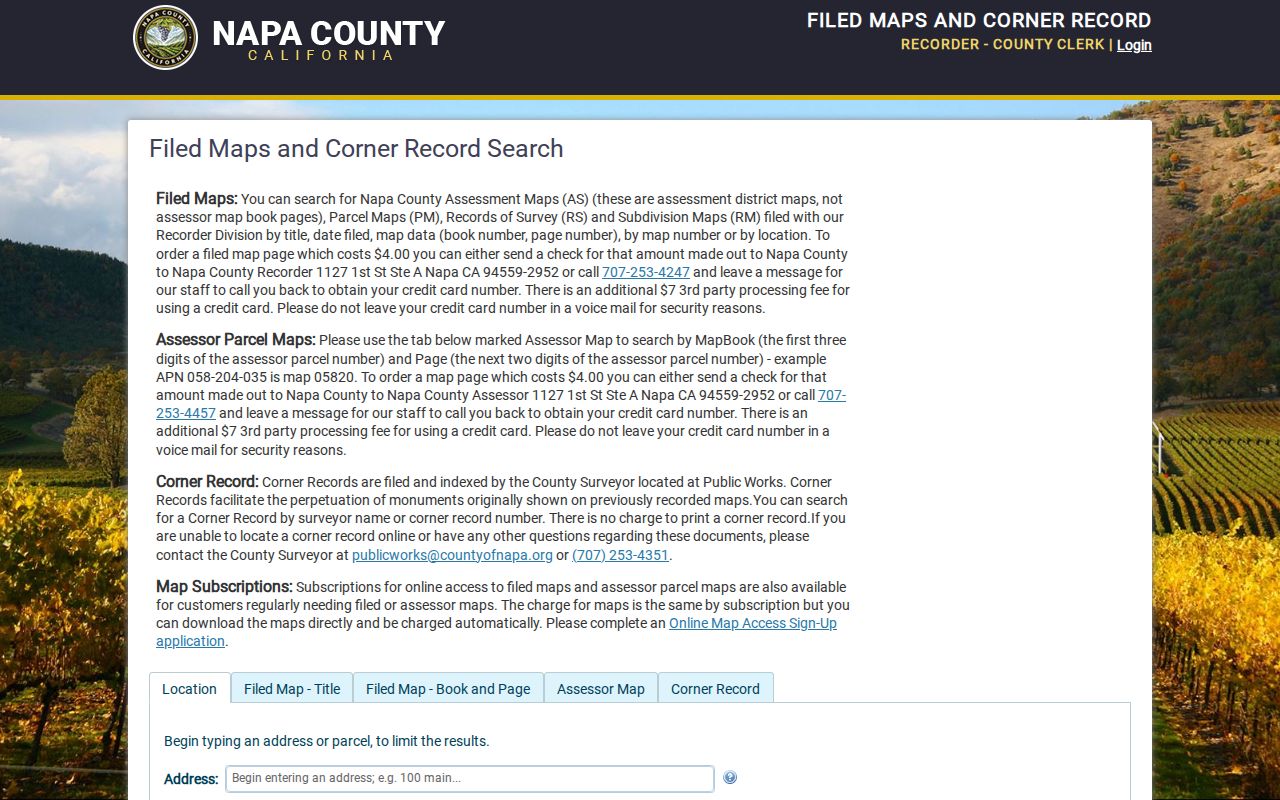
Pair the map number and legal description with the APN, rather than relying on a street name alone.
American Canyon Address Permit Trail
Permit and code files add a time layer to the American Canyon street directory. Community Development keeps planning entitlements, building permits, inspection and status records, subdivision maps, design review, and code-enforcement material. Building is 707-647-4581, Code Enforcement is 707-647-4599, and Planning and Zoning is 707-647-4348. The city OpenGov portal is the online route, though exact fields and coverage dates were not exposed during inspection.
Inside city limits, start with American Canyon Community Development and its permit portal. For fringe parcels or older county approvals, repeat the search with Napa County PBES. County files can include Building, Planning, Engineering, Well, wastewater, Conservation, Code Enforcement, Consumer Protection, and inspection records. Protected complaint, stamped-plan, calculation, copyright, and trade-secret material may not display.
Permits can identify an applicant, project contact, date, address, or APN. They do not create a current household roll. Ask for a specific existing file under California's CPRA when the online index does not expose it.
American Canyon's Napa Junction Records
A modern street directory can fail when the searcher assumes that every historical record used American Canyon. The community name before incorporation was Napa Junction. American Canyon incorporated in 1992. The 1998 American Canyon Road and Flosden Road annexation, later annexations, the Paoli edge, and Watson Ranch all affect which office may hold older permits or how a catalog describes a place.
Paoli and Watson are useful examples. A roughly 83-acre Paoli or Watson edge project lay in unincorporated Napa County, east of State Route 29 and Paoli Loop, within the city sphere and service area, with annexation intended. Watson Ranch covers about 309 acres in northeastern American Canyon, north of Vintage Ranch, east of the rail line, and generally south of Watson Lane. A ZIP label can stay constant while the municipal custodian changes.
For an older address, search Napa Junction, southern Napa County, and the modern street name. Bridge the results with APN, legal description, filed map, and agency boundary layers. No authoritative street-renumbering year was located, so a page or record that suggests a mismatch should be checked against those durable identifiers rather than assigned a made-up event.
American Canyon Street Voter Records
California My Voter Status is a personal lookup. It asks for identifying information and returns the requesting voter's status, address, precinct, districts, and election information as available. It is not a tool for browsing the American Canyon street directory. A full county voter file requires a qualified purpose, original wet signature, government ID, payment, and security controls.
Napa Elections says walking lists can be arranged by precinct, street, and house number, with fields such as political affiliation, phone if available, and vote-by-mail status. The county application requires intended-use details and may take 2 to 3 business days after complete submission. State review is generally 7 to 14 business days. Driver-license numbers, Social Security numbers, signatures, and other restricted identifiers are not released.
Elections Code sections 2188, 2188.5, 2194, and 18109, plus 2 CCR sections 19001 through 19013, control access and use. The history alternative is NVGS Great Registers from 1880 to 1894 and 1908 to 1956. Those series can show historical presence, but their fields and precinct boundaries are not modern voter data.
What American Canyon Street Searches Cannot Show
A parcel map shows land and published layers. An assessor result shows released property evidence. A deed shows recorded parties. A permit shows a project or applicant when releasable. None of those records lists every occupant, visitor, household member, utility customer, delivery recipient, or person physically present now. DMV address data is protected by the federal DPPA and California law. Safe at Home participants and protected voter locations receive additional handling.
Use the street directory for lawful address research, family history, property curiosity, civic notice, and reconnecting through an independently public record. Stop when the official trail ends. The absence of a name is not proof that a person never lived at an address, and a parcel owner is not automatically the resident.
Lawful use. American Canyon address records may be used for legitimate personal research. Do not use a parcel, map, voter record, or public address clue to stalk, harass, threaten, intimidate, or harm another person.
Note: The full historical directory shelf belongs with the American Canyon city directory collections, while a one-person identity trail belongs with the resident lookup workflow.